
Rockets, Intelligence Gathering, and the Norwegian Arctic
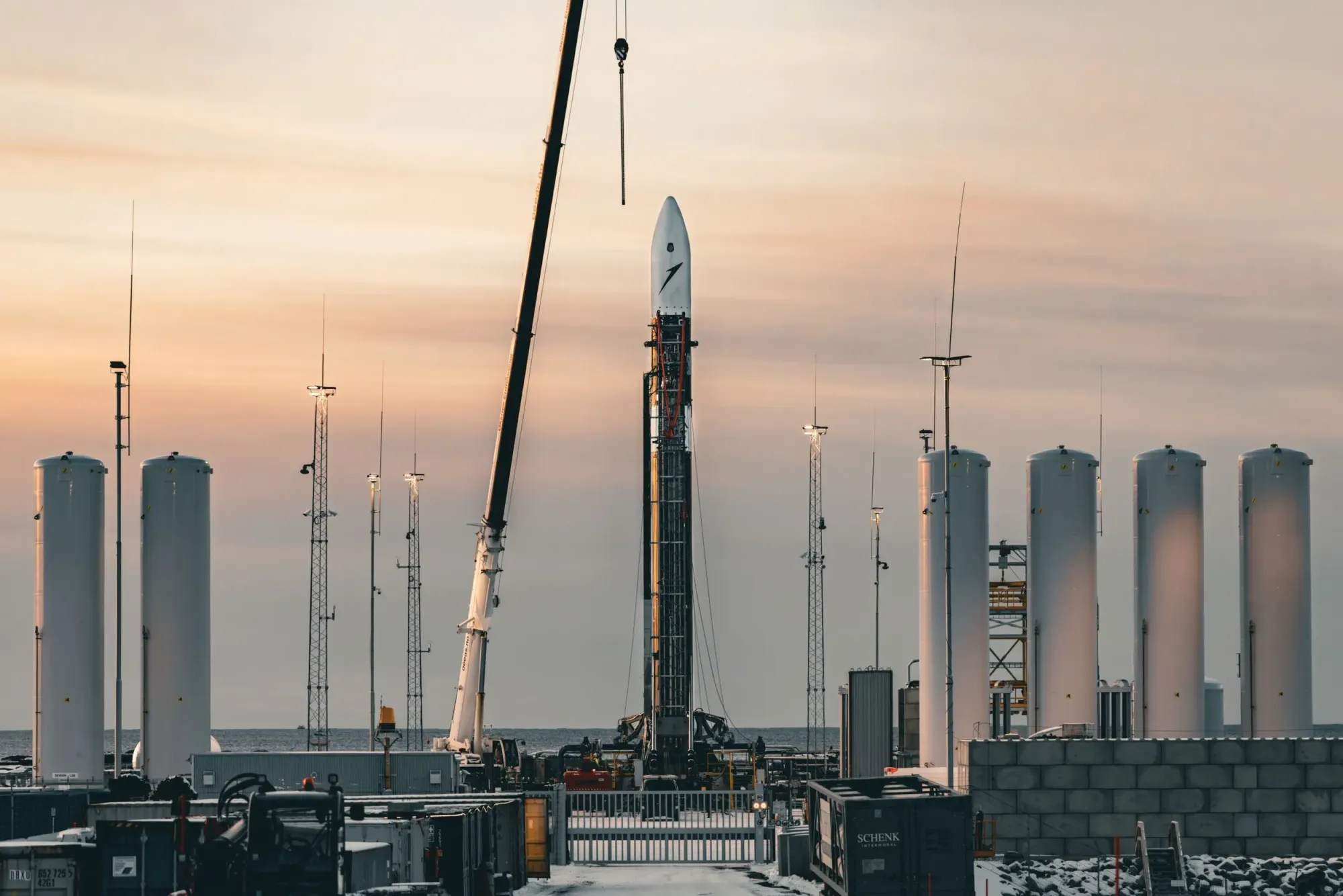
The frozen winds at Andøya aren't the only thing causing shivers in the space industry. Standing at Europe's northernmost spaceport, watching Isar Aerospace's Spectrum rocket poised for its maiden flight, there's a palpable sense that we're witnessing more than just another launch attempt. This slender rocket, set against the harsh Arctic landscape, represents a fundamental shift in how tactical satellite capabilities could be deployed in the coming decade.

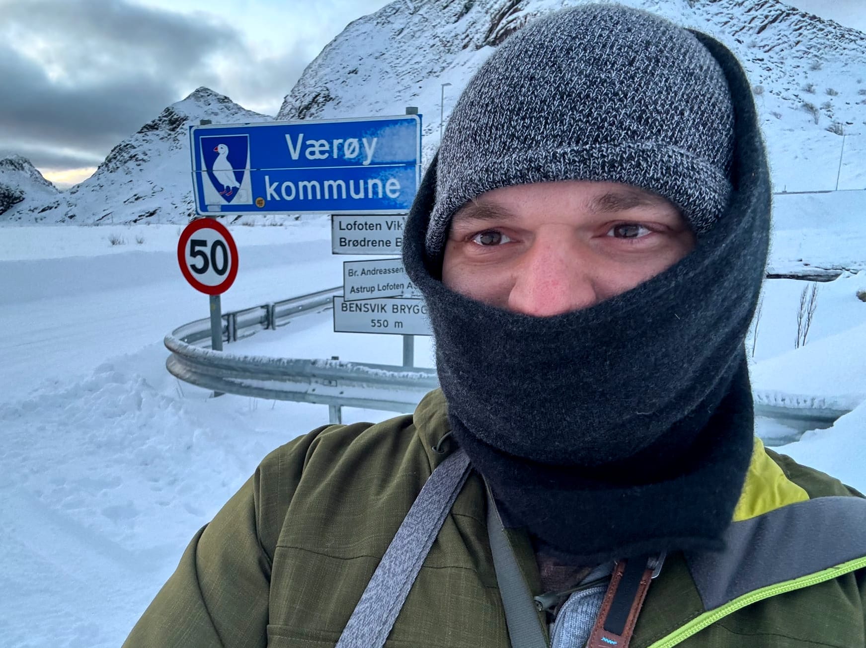
Now, I didn't come to Norway for first ISAR rocket launch attempt - expected to occur any day now. I happened to spend a month in this wondrous nation just a few months prior to the scene described above, with Isar's maiden launch vehicle standing ready. I was drawn by the stark silence of the fjords, the surreal blue glow of polar dusk, and the frozen roads that snake through terrain more reminiscent of a glacial Mars than Earth. The landscape left a profound impression: a place so isolated that launching rockets here feels almost like science fiction.
This isolated launch site isn't just a novelty—it's Europe's serious entry into the small-satellite game. Spectrum isn't just another rocket; it's a vehicle for orbital independence, built to serve a new generation of space operators who don't want to wait in line behind billion-dollar government payloads.
The Rideshare Dilemma: When "Good Enough" Isn't
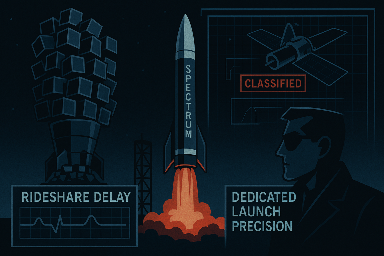
For years, smallsat operators had little choice but to rideshare—hitching their satellites onto someone else's big rocket mission. SpaceX's Transporter flights dramatically lowered the cost per kilogram, but it's essentially taking a Greyhound bus when you really needed a private taxi.
Orbital inflexibility is the killer: a rideshare drops all satellites in essentially the same orbit at the same drop-off point, dictated by a primary payload's needs. If your satellites need to be in different orbital planes or phased around Earth for constant coverage, tough luck. As one NASA rideshare guide drily noted, "one of the main disadvantages of rideshare is the inability to get to your desired orbit." In other words, you're stuck where the bus lets you off.
SpaceX's Falcon 9 rideshares are a marvel of cost efficiency, but they operate like a bulk freight train to fixed destinations. For constellation builders, that approach often falls short. Imagine you have six ISR satellites and need each in a different orbital plane for global coverage. A Falcon 9 rideshare will indeed launch all six—but all into the same plane, like a clump of spies orbiting nose-to-tail. Plane or Inclination changes are not possible, and even separating the cluster of vehicles could take weeks using aerobraking or small ion thrusters.
Alternatively, you wait for the perfect rideshares to each orbit you need, which rarely materialize. This isn't a theoretical problem—it's exactly the deployment challenge Planet Labs endured building their Earth imaging fleet. Planet launched hundreds of tiny Doves over a decade on whichever rockets had spare room, from India's PSLV to Russian Dneprs to SpaceX Falcon 9s. It took them ten years of piecemeal deployments to finally achieve a ~6-hour revisit rate worldwide.
Dedicated Launchers: Your Orbit, Your Schedule
This is where dedicated small launchers like Spectrum come in—essentially the FedEx Overnight to SpaceX's budget freight. Need satellites in custom orbits at precise timings? Book a dedicated micro-launch. Instead of clustering all your assets in one orbit and hoping for the best, a small launcher gives you precise orbital insertion—your satellite, your orbit, your schedule.
Dedicated micro-launchers unlock orbits rideshares can't reach. Want a specific retrograde orbit at 75° inclination? A precise sun-synchronous orbit for a spy sat? A repeating ground track that overflies designated regions at dawn daily? You're unlikely to find a convenient rideshare headed there—but you can hire your own mini-rocket to place your hardware exactly where needed.
As Rocket Lab's Peter Beck put it after delivering a particularly complex mission, it was something "there is no way you could do on a rideshare."
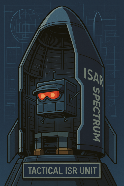
For Intelligence, Surveillance, and Reconnaissance missions—where orbit is everything—this capability is crucial. Tactical ISR depends on carefully designed orbital parameters: phased orbital planes for persistent coverage, specific altitudes and inclinations for repeat ground tracks, and precisely timed passes. None of this is achievable with one-size-fits-all rideshare orbits.
The Tactical ISR Revolution
Let's talk about why those custom orbits and rapid deployments matter. ISR—especially tactical ISR—isn't some abstract concept; it provides the critical situational awareness on which decision-makers rely. Consider these use cases:
- Border Monitoring: Small satellites in coordinated orbits can maintain persistent watch over mountain passes or desert borders, detecting unauthorized crossings or movements. A timely overhead image can provide more value than numerous ground patrols.
- Coastal Surveillance: A mini-constellation of radar satellites can scan a nation's coastline hourly, tracking everything from commercial vessels to small craft regardless of weather conditions. This is essential for maritime awareness—monitoring fishing violations, potential threats, or naval movements.
- Strategic Area-of-Interest Mapping: During conflicts or crises, certain regions require heightened attention. Tactical ISR satellites in tailored orbits can provide frequent coverage of these hotspots, creating dynamic maps of changes—whether tracking infrastructure development, disaster impacts, or similar activities.
- Dual-Use Commercial Imagery: The same high-revisit imagery systems that serve security applications can monitor crop health, floods, infrastructure projects, or maritime traffic. This dual-use flexibility makes systems economically viable during peacetime while remaining available for crisis response.
- Sensor Fusion: Modern intelligence combines different collection methods for a more complete picture. One satellite might collect communications (SIGINT), another might capture radar images (SAR), while a third provides optical imagery (GEOINT). For effective fusion, these systems need coordinated orbits—something difficult to achieve via rideshare but enabled by dedicated launches.
In all these scenarios, responsiveness and control are paramount. If there's an emerging situation, you want your satellites overhead quickly, not whenever the next available rideshare is scheduled. Tactical ISR requires information in hours and days, not months and years. That's why micro-launchers like Spectrum represent such a significant development—they put the timeline back in the operator's hands.
ISR Satellites: Smaller, Smarter, Sharper
The satellite technology has evolved alongside launch capabilities. We're now seeing remarkable 20-100 kg class ISR satellites built by companies that barely existed a decade ago. These aren't Cold War behemoths but rather startup-developed spacecraft often using smartphone-grade components, open-source software, and iterative design approaches. Several standouts include:
- Umbra: Operating ~100 kg SAR satellites that deliver high-resolution radar images that were once the exclusive domain of nation-states. Their small satellites have demonstrated sub-25 cm resolution radar imaging—sufficient to detect objects about the size of a laptop from orbit.
- Capella Space: Another SAR provider operating a fleet of roughly 100 kg radar satellites. They focus on timely, on-demand imagery—users can task a satellite to image any location and often receive results within hours.
- HawkEye 360: Their ~30 kg satellites don't take pictures; instead, they detect radio emissions and pinpoint their origins on Earth. This includes ship radars, emergency beacons, and various communication systems—essentially commercial SIGINT capabilities that were previously unavailable.
- BlackSky: Operating ~50-60 kg electro-optical satellites that frequently image strategic locations and use AI to identify changes. Their 1-meter resolution images prioritize revisit frequency over absolute resolution, allowing multiple daily passes over key sites.
What unites these systems is their size—small enough for micro-launchers—and their constellation approach. Ten 50-kg satellites working together often provide more utility than one 500-kg satellite, simply by covering more territory simultaneously. This synergy between relatively low-cost satellites and dedicated launches is driving the proliferation of 20-100 kg ISR systems.
Building a Constellation: From Concept to Coverage
Let's get concrete. Say you're developing a new sensor—perhaps a hyperspectral camera that can detect camouflaged targets—and want to deploy a "minimum viable constellation" for regional ISR. Using today's capabilities, here's how you might approach it:
- Define Coverage Requirements: Determine whether you need global or regional coverage. For example, you might want to monitor a specific region with frequent revisits—perhaps every 30 minutes for key locations.
- Design Orbital Architecture: For regional focus, 3-5 orbital planes might suffice (distributed so that as Earth rotates, one plane is always over your area of interest). Choose appropriate altitude and inclination for your targets.
- Satellites per Plane: If each satellite passes over your area every 90 minutes (typical for LEO), then 3 evenly-spaced satellites in that plane provides ~30-minute revisit intervals. Six satellites would reduce that to 15 minutes.
- Total Constellation Size: With 5 planes and 6 satellites per plane, you're looking at 30 satellites total—a substantial but manageable regional ISR constellation.
- Launch Campaign: Book one dedicated launch per orbital plane. Each Spectrum rocket could carry your 6 satellites (assuming 50-100 kg each) directly into the intended plane and space them as needed.
- Timeline: These 5 launches could potentially be completed within a year, providing a fully-deployed 30-satellite constellation with optimal orbital parameters. Compare this to rideshare, where you might get 10 satellites up at once but in a single orbit, then spend years repositioning or waiting for additional launch opportunities.
The economics are striking: Small ISR satellites at production scale might cost approximately $1-2 million each. Thirty satellites would therefore represent $30-60 million in spacecraft costs. Launch expenses on small dedicated vehicles like Spectrum (based on comparable systems) might run $10-15 million per mission. Five launches would add $50-75 million to the total.
All told, approximately $80-135 million could deploy a regional 30-satellite ISR constellation across 5 planes—a figure comparable to what a single traditional large reconnaissance satellite might cost. For perspective, this is also in the range of what some nations pay for a handful of high-end surveillance aircraft.
Compare this to Planet Labs' experience: they spent years and considerable resources to gradually build their global coverage. Today, the same capability could potentially be deployed in 12-18 months using dedicated launches for optimal orbital placement.
This represents a fundamental shift. Even relatively small organizations could field capable ISR constellations without requiring superpower-level budgets. For tactical users, it means never having to say "we only get imagery of that area once per day." With proper constellation design, you can achieve hourly or even sub-hourly revisit rates.
The Institutional Shift: From Behemoths to Swarms
The U.S. National Reconnaissance Office (NRO), historically focused on billion-dollar satellites, has embraced this paradigm shift. With an annual budget estimated around $12-15 billion, the NRO could continue building gold-plated systems—but is instead directing significant resources toward smaller satellite networks.
NRO leadership has indicated plans to "increase the number of satellites operating across multiple orbits" through the decade. The most visible example is the NRO-Starshield program—a collaboration with SpaceX to develop "hundreds" of intelligence satellites under a reported $1.8 billion initial contract.
By late 2024, approximately 100 of these small satellites had already been placed in orbit, with plans to expand to several hundred by 2028. The strategy emphasizes resilience and persistence—instead of a few exquisite systems providing occasional coverage, dozens or hundreds of small satellites provide continuous monitoring so targets can be revisited every few minutes.
Crucially, the NRO is also engaging commercial providers like never before. In 2022, they issued contracts to companies including Capella, ICEYE, Umbra, BlackSky, Planet, and HawkEye 360 to purchase imagery and RF data. This approach treats commercial satellite networks as integral components of national ISR architecture rather than mere supplements.
The U.S. Department of Defense has similarly embraced this trend through initiatives like the Space Development Agency's proliferated LEO constellation for missile tracking and communications. Over half of all U.S. government satellites launched in 2022-2024 were reportedly NRO smallsats—outpacing even SpaceX's Starlink in some quarters.
European entities, through companies like ISAR Aerospace and others, are working to develop comparable capabilities. The ability to independently deploy and maintain responsive space assets is increasingly viewed as a strategic necessity rather than a luxury.
Conclusion: Democratizing Space Intelligence
Not long ago, deploying an ISR satellite was a multi-billion-dollar endeavor reserved for superpowers. Development spanned years, costs were astronomical, and if you needed frequent coverage—well, you generally made do with what was available.

That paradigm is rapidly evolving. We're now looking at sub-$150M constellations comprising dozens of satellites, launched on-demand by vehicles that any adequately funded organization can access. Tactical ISR capabilities are no longer exclusively available to major powers. Smaller nations, coalitions, and even well-resourced commercial entities can develop and deploy their own space-based intelligence networks.
Standing at Andøya, watching Spectrum prepare for flight, I'm struck by the symbolism. This rocket on a remote Arctic island represents the democratization of space-based reconnaissance. It's among the first of what will likely be many privately-built, agile launchers sending fleets of small but capable satellites to orbit.
The barriers to entry are falling at an unprecedented rate. Need situational awareness? Purchase imagery from commercial constellations. Require dedicated coverage? Launch custom satellites on micro-launchers. The ecosystem has been transformed.
This doesn't mean traditional large satellites are obsolete—they'll maintain their role for specialized missions requiring exceptional capabilities. But the center of gravity in ISR is shifting toward proliferation, flexibility, and distributed systems rather than centralized platforms. This approach creates inherent resilience (the loss of individual satellites doesn't cripple the network) and responsiveness (new satellites can be deployed as requirements evolve).
It also distributes capability globally: allies and smaller entities can launch from their own territories and operate independent constellations rather than relying exclusively on major powers.
For those who have observed the space industry's evolution, there's a certain irony: the same organizations that once dismissed small satellites as toys are now investing heavily in smallsat constellations. The rideshare model that democratized access to space is giving way to recognition that dedicated launch provides irreplaceable advantages for mission-critical deployments.
As we watch Spectrum's preparation at Andøya, we're witnessing more than just another rocket launch. We're seeing the infrastructure that will enable the next generation of space intelligence—one that's more distributed, resilient, and accessible than anything that came before. The future of ISR isn't built around massive satellites in geosynchronous orbit; it's emerging from a frozen launch pad on the edge of the Arctic Circle, one small rocket at a time.
...GODSPEED SPECTRUM!